

Building upon the remote sensing archaeological achievements from the Third National Cultural Relics Survey in Xinjiang, a management and 3D visualization system for the Great Wall heritage sites has been established. By integrating virtual simulation and spatial measurement technologies, the project explores the hierarchical structure and interdependent spatial relationships of the Great Wall cultural heritage, providing an in-depth analysis of the cultural and geographical significance of the Great Wall sites distributed along the Silk Road.
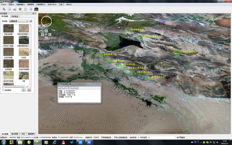
Spatial Measurement of the Great Wall Heritage Site
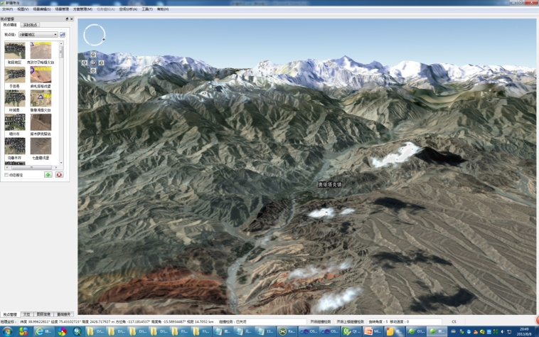
3D Terrain Visualization
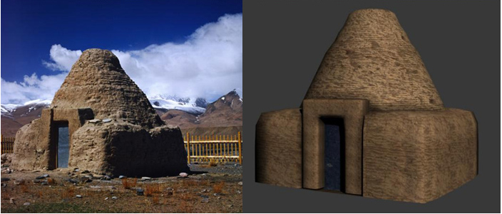
Model Comparison


Copyright © 2026 International Centre on Space Technologies for Natural and Cultural Heritage under the auspices of UNESCO.
Beijing ICP Filing No. 05002788-3


