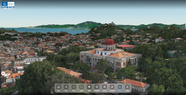
Precise digitization of heritage enables the accurate preservation of scientific data for complex and existing heritage sites, and constitutes an essential component of heritage archiving. The HIST research team has applied an integrated approach combining terrestrial laser scanning, close-range photogrammetry, and virtual reality technologies to conduct high-precision digital surveying of the Tower of Buddhist Incense (Foxiangge) in Beijing Summer Palace. A three-dimensional information management system for complex historical buildings has been established, documenting the current condition and historical information of the structure, and providing a digital solution for panoramic presentation and scientific management of complex architectural heritage.


In collaboration with the Summer Palace Administration of Beijing, the HIST research team undertook the project “Compass Program of the National Cultural Heritage Administration - Fine Surveying and Mapping of Chinese Ancient Architecture.” Using the Tower of Buddhist Incense at the Beijing Summer Palace as a demonstration site, the team integrated terrestrial laser scanning, close-range photogrammetry, 3D reconstruction of ancient architecture, and 3D Geographic Information System (GIS) technologies to carry out high-precision surveying and data analysis. A comprehensive 3D information management system for complex ancient architecture was developed, meticulously documenting the current conditions and historical information of the structure. This work provides a systematic digital solution for the scientific management, conservation, and sustainable development of China’s complex ancient buildings.
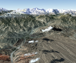
Building upon the remote sensing archaeological achievements from the Third National Cultural Relics Survey in Xinjiang, a management and 3D visualization system for the Great Wall heritage sites has been established. By integrating virtual simulation and spatial measurement technologies, the project explores the hierarchical structure and interdependent spatial relationships of the Great Wall cultural heritage, providing an in-depth analysis of the cultural and geographical significance of the Great Wall sites distributed along the Silk Road.
Copyright © 2026 International Centre on Space Technologies for Natural and Cultural Heritage under the auspices of UNESCO.
Beijing ICP Filing No. 05002788-3