Scientific Research
Scientific Research

Research Endeavors

HIST is committed to promoting interdisciplinary integration and to building a space archeology framework. It has preliminarily established a full-chain heritage governance system encompassing “identification, nomination, monitoring, conservation, evaluation, management, planning, archiving, and dissemination,” as well as several distinctive research areas, including “remote sensing–based scientific archaeology, dynamic monitoring and assessment of heritage sites using remote sensing, precise digitization of heritage, and big Earth data for heritage and sustainable development.”
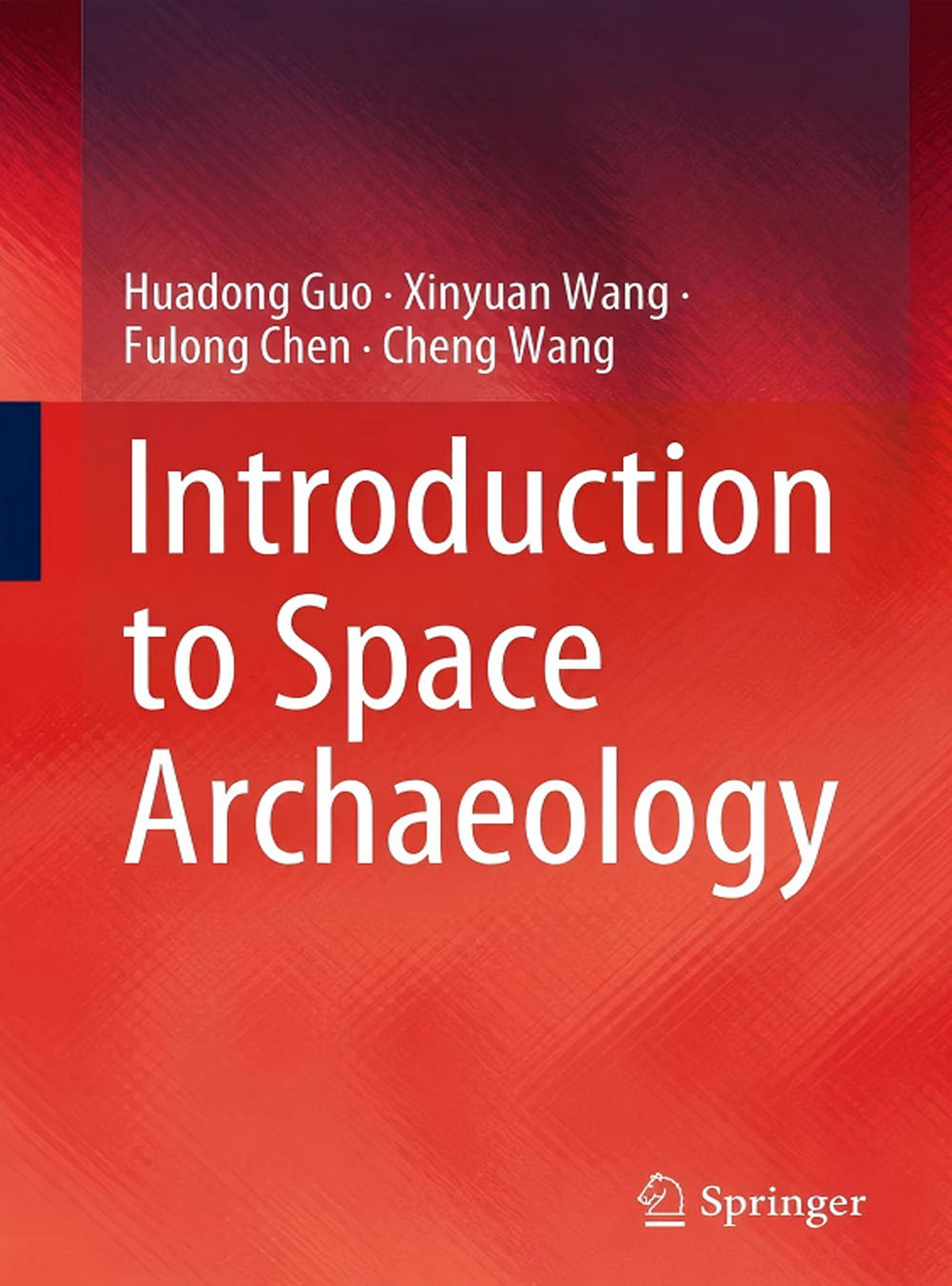
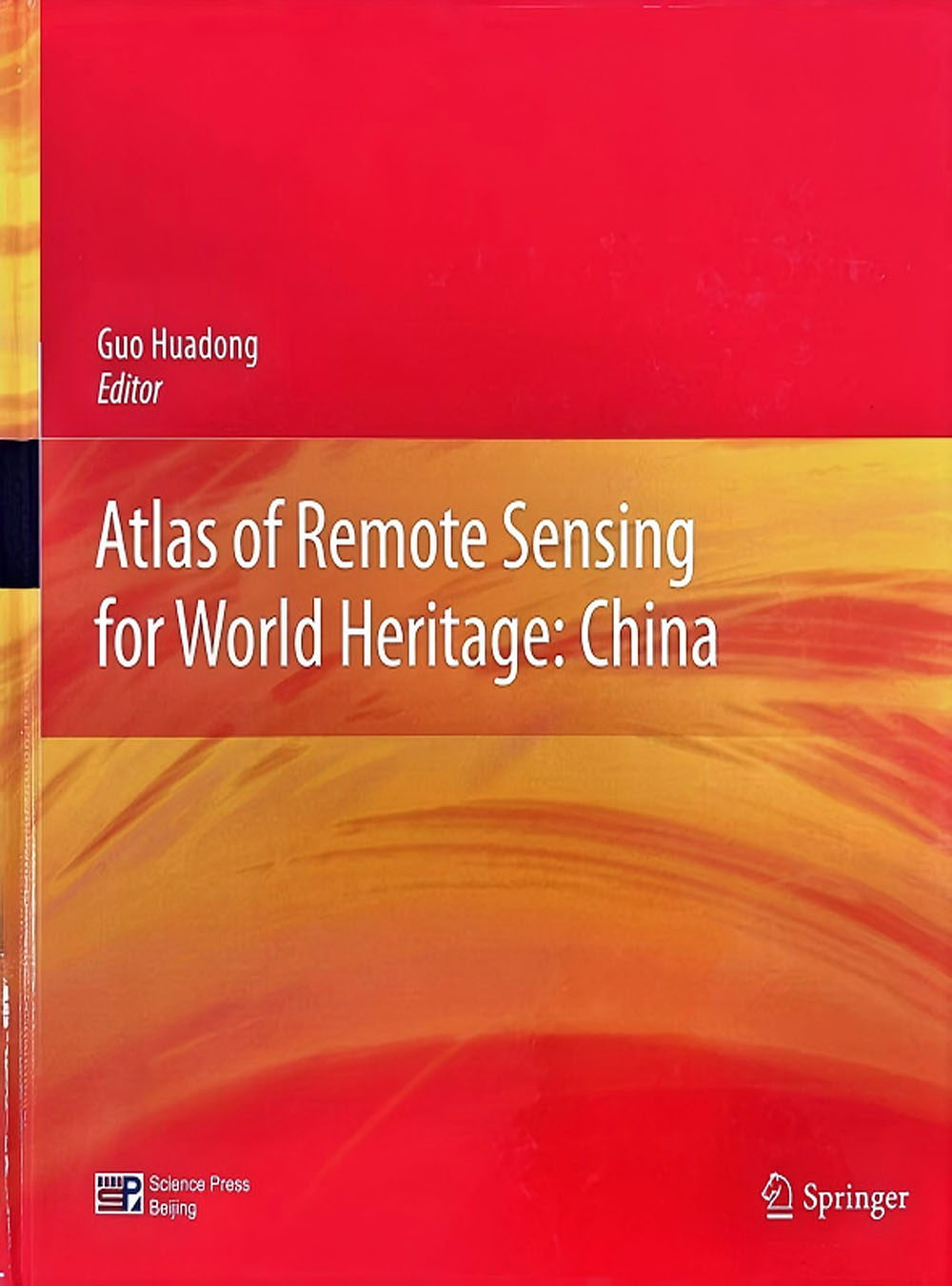
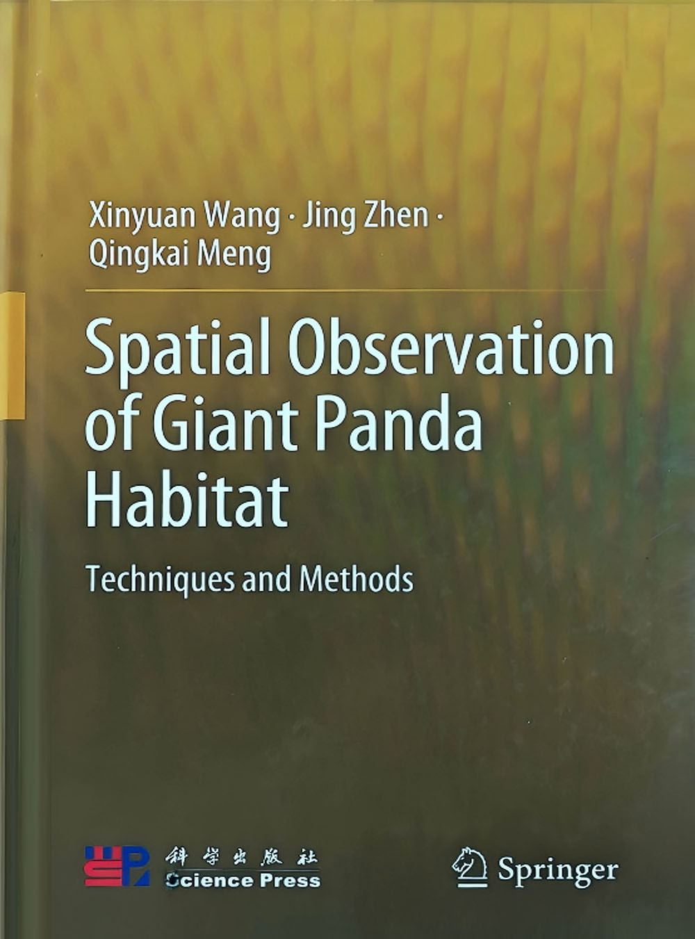
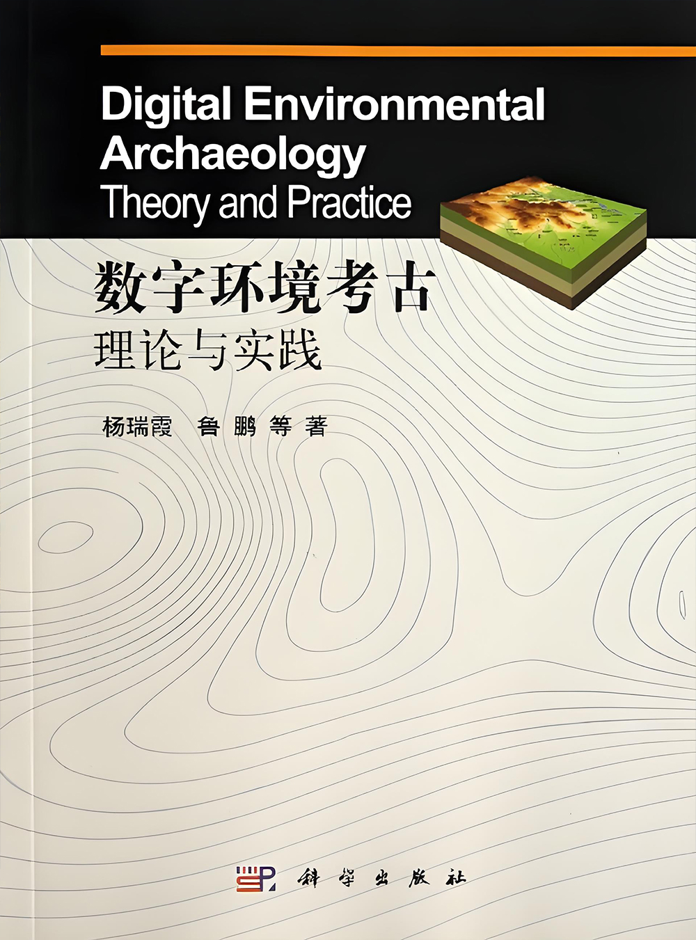
HIST has published more than ten academic works, including Atlas of Remote Sensing for World Heritage: China (Chinese and English editions), Digital Environmental Archaeology: Theory and Practice, Introduction to Space Archaelogy, Technology and Methods for Space Observation of Giant Panda Habitat, and Case Studies on the Digital Management of Immovable Cultural Relics and Archaeological Sites.Nearly ten high-impact research articles have been published in leading international SCI journals such as Science Advances, National Science Review, and Remote Sensing of Environment, three of which have been recognized as ESI Highly Cited Papers.
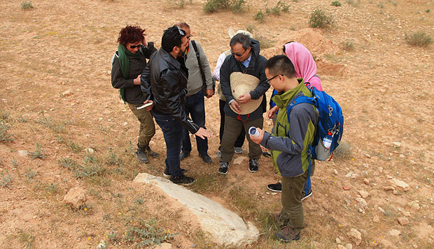
In terms of awards, HIST’s project “Remote Sensing Discover of over ten ancient sites in Guazhou, Gansu along the Silk Road” was selected as one of the Top Ten Events in the Field of Remote Sensing in China (2013); HIST’s “Remote Sensing Archaeology Project in Tunisia” was also listed as one of the Top Ten Events (in 2018). The research on “Remote Sensing Archaeology of the Tang Dynasty Postal Relay System along the Silk Road” won the 5th ‘Discovering China – Li Ji Archaeology Award’ (2015); the study on “Remote Sensing Archaeology of the Han and Tang Beacon Tower and Postal Relay System along the Silk Road” received the 2nd ‘Discovering China – Chinese Ancient Military Engineering Science and Technology Award’ (2016); and the project “Cutting-edge Technologies and Applications for Remote Sensing Archaeology and Digital Heritage Conservation” won the Second Prize for Progress in Surveying and Mapping Science and Technology (2017), among other honors.
In addition, HIST has applied for 20 patents, including: 3D Reconstruction Method of Early Topography in Archaeological Site Areas Based on Excavation Data, Quantitative Delineation Method and System for Vertical Vegetation Zones, Hierarchical Thematic Attribute Extraction Method Based on Natural Language Processing, Method for Evaluating the Subsurface Detection Capability of SAR Signal Templates, Multi-dimensional Tomographic SAR Method for Monitoring Deformation of Archaeological Ruins, and TOPS Sentinel-1 Data Ionospheric Correction Method.
Moreover, the centre has obtained software copyrights for over ten systems and platforms, including: Geological Disaster Risk Assessment Model Software System for World Natural Heritage Sites, Site Information Management System, World Heritage Remote Sensing Database System, High-Resolution SAR Intensity Change Monitoring Platform V1.0, 3D Information Management System for Monitoring and Conserving Historic Buildings V1.0, and Satellite SAR Archaeological Information Enhancement and Monitoring System V1.0.

【Expand all】

Space Archaeology

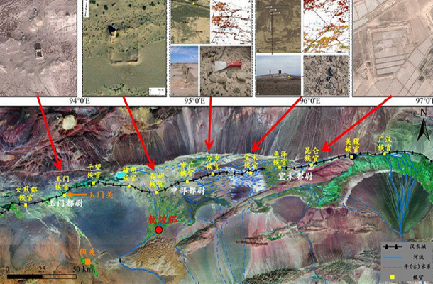
Remote sensing archaeology has been one of the major research areas of HIST over the past decade. Through continuous development, this work is evolving towards the broader field of space archeology. The focus of research extends beyond a number of heritage sites within China to the application of remote sensing archaeology at significant sites worldwide. The HIST expert team has conducted in-depth studies on the principles, methodologies, applications, and dissemination of remote sensing archaeology. Under the leadership of Director Guo Huadong, the team has compiled and published the monograph space archeology.

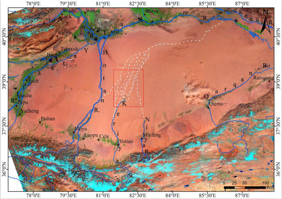
  • Spatial Archaeological Research on the Middle Segment of Southern Silk Road

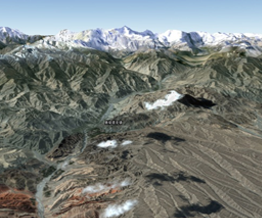
    Spatial Archaeological Research on the Middle Segment of Southern Silk Road

  • Remote Sensing Archaeology of the Han Dynasty Great Wall Defense System

    Remote Sensing Archaeology of the Han Dynasty Great Wall Defense System

Heritage Monitoring & Assessment

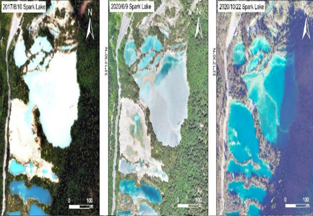
Dynamic monitoring and assessment of heritage sites using remote sensing is a top priority for heritage conservation and sustainable development. The integrated “satellite–airborne–ground” collaborative approach constitutes an important scientific platform for applying space technologies in the heritage domain. Over the past decade, HIST has carried out in-depth studies in key areas such as the conservation of the Great Wall, post-earthquake restoration and protection management of Jiuzhaigou following the 2017 earthquake, and the spatial and comprehensive monitoring and protection of giant panda habitats. In addition, HIST has provided data support on changes to Syrian heritage sites before and after the war. The application of remote sensing technology in dynamic monitoring offers a new perspective and scientific support for the conservation of heritage sites.

  • Digital Mapping and Preventive Conservation of the Ming Dynasty Great Walls

    Digital Mapping and Preventive Conservation of the Ming Dynasty Great Walls

  • Post-Earthquake Recovery and Sustainable Development of the Jiuzhaigou World Heritage Site

    Post-Earthquake Recovery and Sustainable Development of the Jiuzhaigou World Heritage Site

  • Satellite Remote Sensing Monitoring of World Heritage Sites in Syria after Local Conflicts

    Satellite Remote Sensing Monitoring of World Heritage Sites in Syria after Local Conflicts

Digital Conservation

Precise digitization of heritage enables the accurate preservation of scientific data for complex and existing heritage sites, and constitutes an essential component of heritage archiving. The HIST research team has applied an integrated approach combining terrestrial laser scanning, close-range photogrammetry, and virtual reality technologies to conduct high-precision digital surveying of the Tower of Buddhist Incense (Foxiangge) in Beijing Summer Palace. A three-dimensional information management system for complex historical buildings has been established, documenting the current condition and historical information of the structure, and providing a digital solution for panoramic presentation and scientific management of complex architectural heritage.

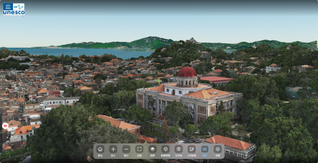
  • Digitization for Conservation of Urban Cultural Heritage at Gulangyu

    Digitization for Conservation of Urban Cultural Heritage at Gulangyu

  • Fine Mapping of the Tower of Buddhist Incense at Beijing Summer Palace

    Fine Mapping of the Tower of Buddhist Incense at Beijing Summer Palace

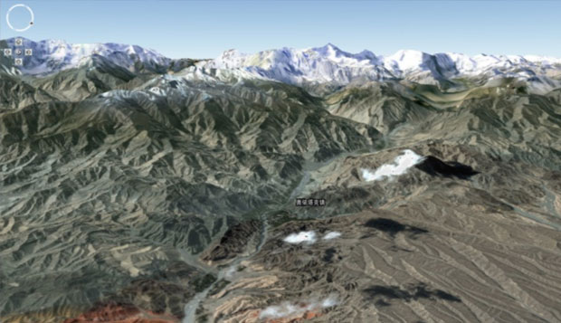
  • 3D Visualization System of the Ziyuan Site of the Great Walls’ Xinjiang section

    3D Visualization System of the Ziyuan Site of the Great Walls’ Xinjiang section

Heritage Management

The core mission of HIST is to promote space-based observation and understanding of World Heritage sites. Over nearly a decade of development, HIST has gradually established a comprehensive heritage conservation system encompassing archiving, protection, management, monitoring, and assessment. Integrated demonstration studies have been carried out at key sites such as Angkor Wat in Cambodia, the Grand Canal, and Bagan in Myanmar, paving the way for intelligent and holistic management solutions for a broader range of heritage sites.

  • Comprehensive Remote Sensing Monitoring of the Beijing Section of the Grand Canal Cultural Heritage

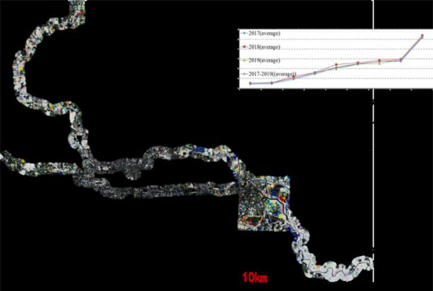
    Comprehensive Remote Sensing Monitoring of the Beijing Section of the Grand Canal Cultural Heritage

  • Assessment of the Impact of Climate Change on Giant Panda Habitats

    Assessment of the Impact of Climate Change on Giant Panda Habitats

  • Remote Sensing for Environment of Angkor Site

    Remote Sensing for Environment of Angkor Site

Heritage Development

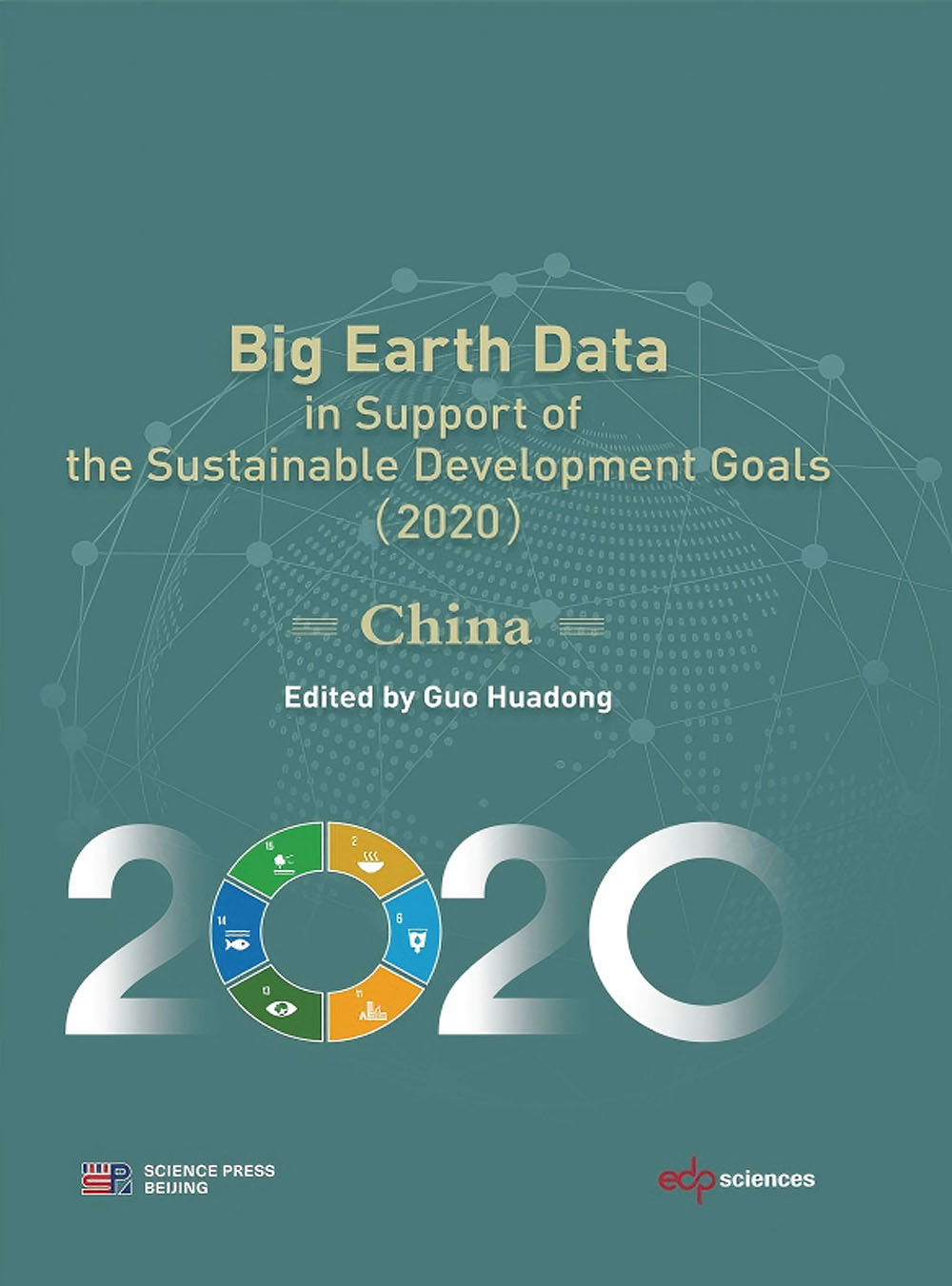
Leveraging Earth Big Data to support the sustainable development of heritage sites is a strategic focus for the future. Building a scientific platform based on Earth Big Data and space technologies aims to position HIST at the forefront of innovation in the field of heritage sustainability. This initiative is a key contribution by HIST to the implementation of the United Nations 2030 Agenda for Sustainable Development.

  • Scientific Understanding of World Heritage Conservation and the Achievement of the SDGs

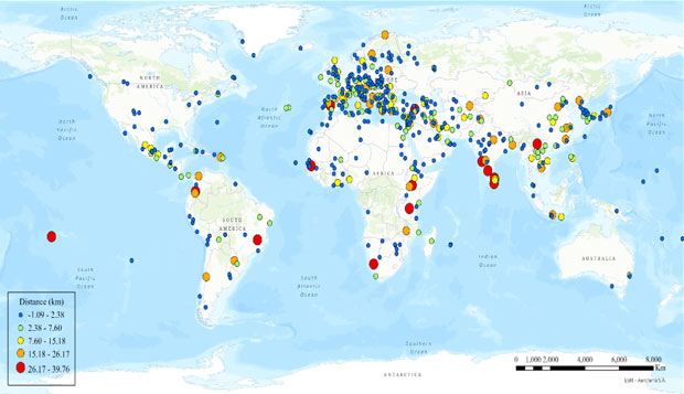
    Scientific Understanding of World Heritage Conservation and the Achievement of the SDGs

  • iSTEP Integrated Solutions for Advancing Synergistic Achievement of Multiple SDGs

    iSTEP Integrated Solutions for Advancing Synergistic Achievement of Multiple SDGs

  • A Climate Risk Assessment Framework for World Natural Heritage Sites

    A Climate Risk Assessment Framework for World Natural Heritage Sites

Copyright © 2026 International Centre on Space Technologies for Natural and Cultural Heritage under the auspices of UNESCO.
Beijing ICP Filing No. 05002788-3